Enough with the snow: We deserve clear sidewalks
When the mega-snowstorm ended on January 26, we were all asked to be patient. Plow crews were working around the clock; in the meantime, we should do our part by clearing the sidewalks and curb cuts along our homes and businesses.
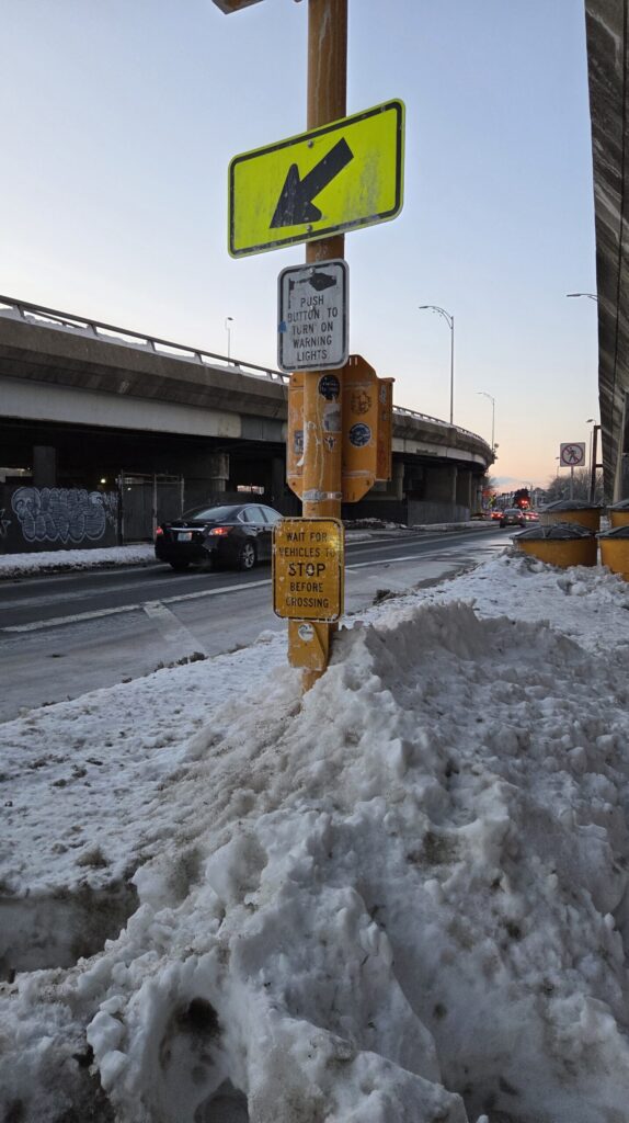
Yet remarkably few property owners actually cleared the 3-foot-wide paths required by local ordinances. Those who ventured out found many sidewalks full of snow or with just narrow paths cleared, and tall snowbanks often blocking passage. Crossing streets was particularly perilous, as few curb cuts were cleared, and just reaching the crosswalk often required squeezing between traffic and tall piles of snow and ice, hoping for the best.
Parents with infants in strollers, older adults, and people with disabilities or limited mobility? They couldn’t go out at all. More than 35 years after passage of the Americans with Disabilities Act, our communities had apparently decided it was OK to just trap them at home.
On February 1, six full days after the end of the storm, this travesty cost a 57-year-old woman her life. She and a companion were walking along Cranberry Highway in Wareham, a two-lane road. The sidewalk wasn’t cleared, so they had to walk on the road. She was using a walker. A motorist came around a bend and saw them in his path, but couldn’t avoid hitting them due to an oncoming vehicle.
It’s a miracle that we haven’t had more casualties, because over 10 days since the storm ended, sidewalks across Massachusetts are still blocked and dangerous. But it seems like officials have decided to let nature clear the remaining snow and ice, when it gets around to it.
Enough already. This is a matter of basic public safety, and it’s a matter of justice.
When snow isn’t cleared promptly and effectively from sidewalks, we’re all forced to navigate around snow piles, try to avoid ice, and often walk alongside cars just to go about our lives and meet basic needs. It’s scary and dangerous for healthy adults, nerve-wracking for parents with small children, and simply impossible for the most vulnerable members of our communities.
Worst of all, it’s this way by design.
Municipalities and the Mass. Department of Transportation take care of clearing roads, but for the most part, sidewalks are the responsibility of property owners. The fact that many property owners are not physically capable of clearing 2 feet of snow, especially after a municipal plow has piled ice and slush on top of it, doesn’t seem to matter. (Indeed, many street corners have been left with such huge snow and ice piles that only a plow truck could clear them.)
Our local leaders also seem to forget that especially in cities, there are large numbers of rental properties. It’s great that state law protects tenants from being saddled with snow-clearing responsibilities – but no, a landlord who lives in Framingham isn’t likely to show up with a shovel at his Everett triple-decker. Not unless there are real consequences.
As Angie Schmitt, author of Right of Way: Race, Class, and the Silent Epidemic of Pedestrian Deaths in America, put it: “It’s one of the more remarkable double-standards – or inequities – in transportation. Clearing streets of snow is a non-negotiable priority for public agencies, but safe routes for pedestrians are left to a piecemeal private system that mostly fails.”
It doesn’t have to be this way.
Massachusetts isn’t as snowy as it used to be, but we still have winter every year. Buying snowblowers or small plows to clear sidewalks, at least in high-traffic areas such as business districts, near schools, and around MBTA stations, makes plenty of sense. The equipment can also be used to clear protected bike lanes, many of which are still blocked.
Actual enforcement of snow-clearing requirements would also help. Municipalities can show some compassion and understanding when there are exigent circumstances, but how many property owners whose stretch of sidewalk remains dangerous have still to be fined?
Municipalities also know which properties have been the subject of repeated complaints, and can reach out to them proactively before storms, warning the owners to avoid further fines.
Small grants to neighborhood associations and local nonprofits could also help them buy snowblowers for shared use – an efficient use of resources and a big help after major storms. Grants could also support low-cost neighborhood shoveling services.
A recent Globe editorial highlighted Somerville’s municipal shoveling assistance program, which matches seniors and people with disabilities with local teenagers. It’s a nice idea, but just 62 homes are enrolled – in a city of 82,000 people. Residents have to register in person at City Hall and fill out a background check form. It shouldn’t have to be this difficult. At WalkMassachusetts, we’re agnostic on solutions: try different things and see what works best. But get those sidewalks cleared, and do not let this happen again!
Marion Davis is a board member of WalkMassachusetts and lives in Somerville.
Brendan Kearney is executive director of WalkMassachusetts and lives in Framingham.