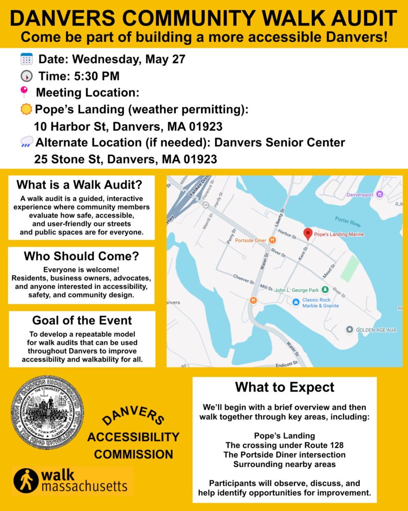
Shadeless and Stressful: Documenting Heat and Safety Risks on Route 62 in Danvers
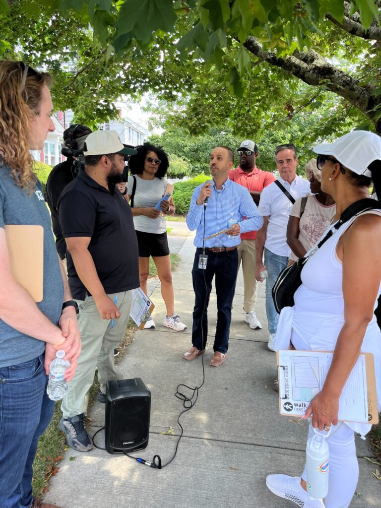
Date of walk audit: May 27, 2026
Facilitators: Brendan Kearney, Iolando Spinola, Jonny Gomez-Pereira and Emma Itri
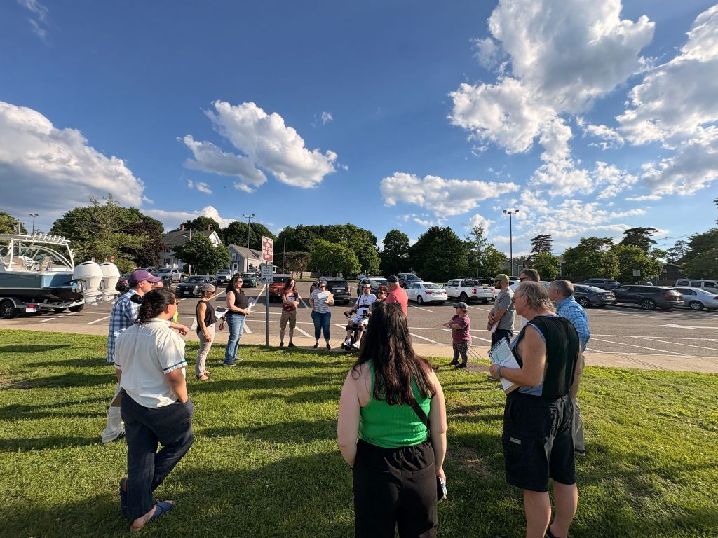
What is it actually like to walk along High Street in Danvers? In late May, WalkMassachusetts and the Danvers Accessibility Commission led a climate‑focused walk audit on High Street / Route 62 near the Route 128 interchange. We selected our location with the assistance of the Boston Region MPO. They conducted an analysis using their NO-HEAT UTCI Data Explorer to identify key corridors in each municipality that are susceptible to heat stress for pedestrians and face other significant challenges. Our objective was to document safety, accessibility, and heat-related issues on a relatively short but crucial corridor that connects nearby homes to downtown, Walgreens, and other common destinations.
Climate and comfort issues were central to the audit. Using a handheld thermometer, participants recorded surface temperatures above 100°F on dark asphalt, while lighter sidewalks were up to 15°F cooler. Shade was virtually nonexistent along most of the route, especially near the highway interchange. Furthermore, participants noted that the elements pose a year-round threat: in the winter, weak enforcement of sidewalk shoveling and frequent parking on sidewalks make winter walking extremely difficult, making many seasons challenging for walking.
These conditions have clear impacts on daily life. While walking, we came across kids selling lemonade on High Street, a bustling road that connects to Route 128. They and their mother informed us that they are not permitted to cross High Street near the on/off ramps. However, they would be delighted if they could walk or use their bikes and scooters to reach the trail, which could be extended just three blocks away if it were safe to do so. It would be unfortunate if their parents had to drive them there.
Communities require funding not only to pave and restore existing infrastructure, but also to plan and build for the future. During our walk, people expressed their anticipation for a rail trail, which would provide individuals with alternative, low-stress transportation options, allowing residents to move around on foot without dealing with highway on- and off-ramps.
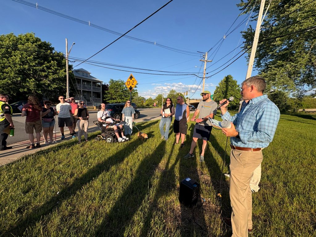
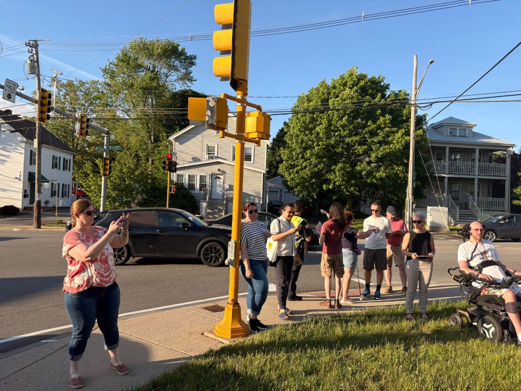
It is no secret that walking near the highway ramps is stressful; our walk audit pinpointed why this stretch feels so hostile to vulnerable road users. Participants found multiple signal and crossing problems. A “No Turn on Red” sign that should have been illuminated at 128 South Exit 42 off-ramp was not working. Some off‑ramps had walk signals while the on‑ramps did not, and in a few locations the pedestrian indication did not clearly match vehicle movements. Crosswalks were hard to detect, with minimal audio feedback and at least one push button that was not accessible to wheelchair users.
Taken together, the findings show that High Street is a short distance but a major barrier for people walking, especially those most affected by heat, disability, age, and lack of car access. Addressing the issues identified in this walk audit is essential to making Danvers’ streets safer, more accessible, and more climate‑resilient.
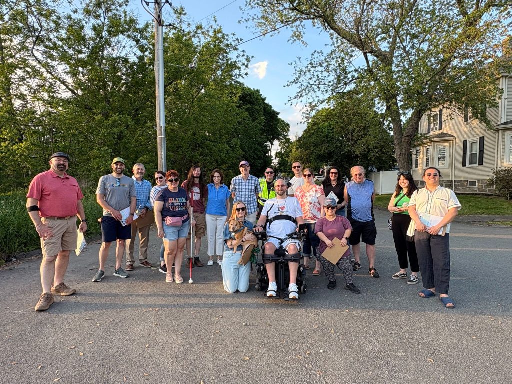
We would like to thank the Danvers Accessibility Commission and our walk audit participants for helping us conduct this walk audit.
In the months ahead, WalkMassachusetts will be conducting additional climate‑focused walk audits in other North Shore communities, building on the same approach used in Danvers to document heat, safety, and accessibility challenges along key corridors. This audit was a training session, and it, along with these future walks, will help create a clearer regional picture of where people are most at risk when they travel on foot as well as what kinds of design and policy changes can make the biggest difference.
For Danvers, we are now drafting a full written report from this walk audit that will summarize the observations, data, and recommendations in one place. That report will be shared with participants and local partners in the coming days so they can review the findings, offer feedback, and begin using it to inform advocacy and next steps with the town. The Danvers Accessibility Commission is also considering other areas where it will lead its own walk audits in the future. Once finalized, you’ll be able to find this audit report alongside other walk audit reports on the WalkMassachusetts audit database: https://audits.walkmass.org/.